The Egyptian Meteorological Authority (EMA) forecasts that Saturday’s weather will be cold at night and in the early morning, and warm during the day across most of the country, while growing hot in Upper Egypt.
The latest satellite images indicate rain clouds over different areas from northern Egypt to Greater Cairo, accompanied by rainfall of varying intensity – with potential flash floods.
There is a chance of moderate rainfall – which may become heavy – in areas of the northwestern coast, northern Lower Egypt, and the Gulf of Suez, with possible flash floods in parts of Sinai Peninsula.
Weather maps estimate a 30 percent chance of light rain in parts of Greater Cairo, southern Lower Egypt, the Suez Canal cities, northern and central Upper Egypt, the Red Sea mountain range, and the Western Desert.
Heightened wind activity
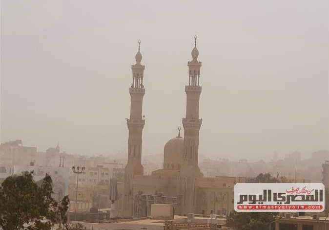
Winds ranging from 40-50 km/h are expected across most of the country, stirring up sand and dust in parts of the Western Desert, southern Egypt, Greater Cairo, the Suez Canal cities, Sinai, and parts of the Red Sea Governorate.
These winds may reduce horizontal visibility to less than 1,000 meters in some areas at intermittent intervals.
The EMA anticipates that maritime traffic in the Mediterranean Sea may be disrupted, with wind speeds reaching 50 to 70 km/h and waves reaching 2.5 to 3.5 meters high.
In the Red Sea and the Gulf of Suez, wind speeds are expected to range between 40-60 km/h, with wave heights between 2.5 and 3.5 meters, leading to rough sea conditions within these areas.
Edited translation from Al-Masry Al-Youm