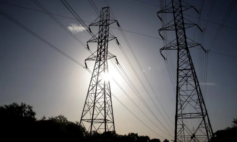
The blast of hot weather raises the potential for record energy usage, according to ERCOT, the council overseeing the flow of electric power to most of the state.
The heat wave will push the Texas energy grid to its brink, forcing ERCOT to issue a “weather watch” through June 21, which are posted when they forecast high demand.
According to ERCOT, usage is expected to be 79,455 megawatts Friday.
By Monday, Tuesday and Wednesday, the energy usage is forecast to top 81,000 megawatts, which would break the previous record of 80,148 megawatts, as the triple-digit temperatures continue.
While records are expected, ERCOT is assuring residents the supply should be efficient, avoiding blackouts.
“Grid conditions are expected to be normal, and ERCOT expects to have sufficient supply to meet demand,” ERCOT told CNN. “There is not a current expectation of an energy emergency.”
During the summer of 2022, ERCOT broke 11 peak demand records.
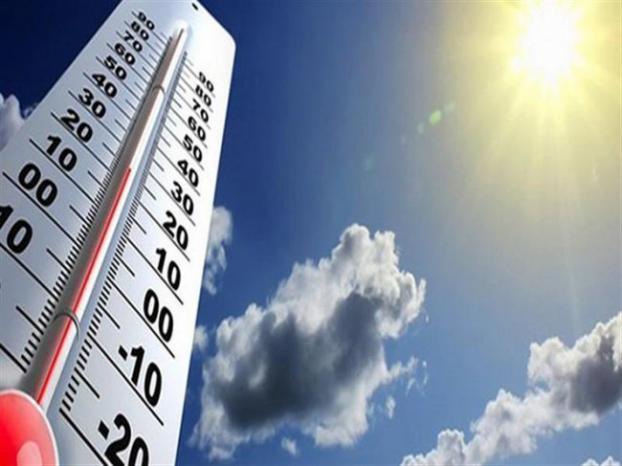
Record-breaking Texas heat
The energy usage is a direct result of the extreme temperatures across the state, as air conditioners will be running at full blast.
Temperatures across Texas will be running 10-15 degrees above normal for at least the next seven days.
“The highest heat indices are forecast across South Texas, where it could feel as hot as 120 degrees,” the Weather Prediction Center said.
Heat indices are the “feels like” temperatures once you combine the air temperature with the humidity.

Several cities in South Texas could break daily high temperature records several days in a row.
Highs in Laredo could reach triple digits for at least the next two weeks, with some days as high as 112.
In San Antonio, highs will be in the triple digits for at least a week, with heat indices soaring above 110.
Further north, even Dallas will be in the triple digits over the weekend, running at least 10 degrees above normal.
“Temperatures in the mid/upper 90s and high humidity will still result in heat indices in the 100-113 range,” the National Weather Service in Dallas said. “At this time, areas across the south Central TX have a higher chance (40-70%) to see highs in the lower 100s Saturday and/or Sunday.”
The biggest danger for anyone who loses power is the overnight temperature. Without sufficient cooling during the overnight hours, the body is not able to recover, resulting in heat-related illnesses and even death. More heat-related deaths occur because of warm overnight temperatures than daytime highs.
“Heat indices are currently in the upper 80s to low 90s, a trend that has gone on a few nights now and may not change for another week or more, increasing the threat for heat related deaths or illnesses for those exposed or without air conditioning through this stretch,” warned the weather service office in Brownsville.
How climate change is causing heat waves to occur more often
Climate Central, a nonprofit research group, uses a tool to analyze the region’s temperatures throughout history since record-keeping began, from a past without climate change to today’s changing climate.
It is a common scientific technique called attribution, which analyzes data and climate models to determine whether an extreme weather event was made worse or more likely by human-caused climate change.

At Climate Central, they use a Climate Shift Index, which shows how climate change impacts day-to-day weather in a specific area. Researchers say several Texas cities have seen a significant increase in daily temperatures in recent years.
Austin now experiences 53 more risky heat days per year than in 1970, while Houston and McAllen face about 52 more risky extreme heat days than in 1970.
CNN’s Rachel Ramirez contributed to this report.