“Despite the name ‘Liberation Square’ as a direct translation, Tahrir Square has rarely been about liberation,” says Sayyed, parked under a tent in Tahrir last Thursday, 10 February–but all of that has changed. Friday marked one of Egypt’s most historical popular uprisings, a revolution of the people that toppled Egypt’s leader of the past three decades, Hosni Mubarak.
Tahrir, the square, witnessed it in full force.
Originally named Tahrir by Gamal Abdel Nasser, Tahrir referred to freedom from the British, in a military coup that took place in 1952 and whose participants remained in control of the country from then until 1981, when Anwar Sadat was assassinated. Mubarak, a military man, took over in 1981 and ruled until two days ago.
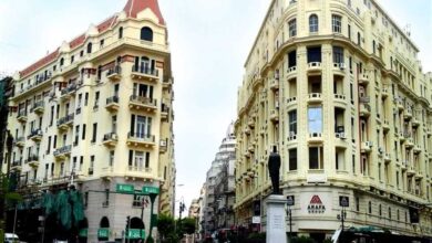
Post-1956, Nasser took it upon himself to rename many of the streets of Cairo, particularly the streets originally named after previous rulers or named in foreign languages. One will also find Tahrir Street in Dokki. Tahrir Square was built much in the form it is today by Khedive Ismail and was originally named Ismailia Square. Back in the Khedive's time, it was imagined to replicate Paris in Cairo.
Although it may have taken until yesterday for Tahrir Square to become a place of freedom, it has been a place for dissent throughout much of Egypt’s modern history. Tahrir was the venue for mass protests in March 1968, when students took to the parliament and the Tahrir area demanding political freedom and democracy. And in 1972, students took to the streets to free arrested members of an anti-Israel sit-in.
In an attempt to discourage further protests in the area, the square was then remodeled to accommodate more automobile traffic and larger, less pedestrian-friendly streets. In 2003, when thousands of Egyptians took to the streets to protest the US-led war on Iraq, Tahrir became the site of their movement.
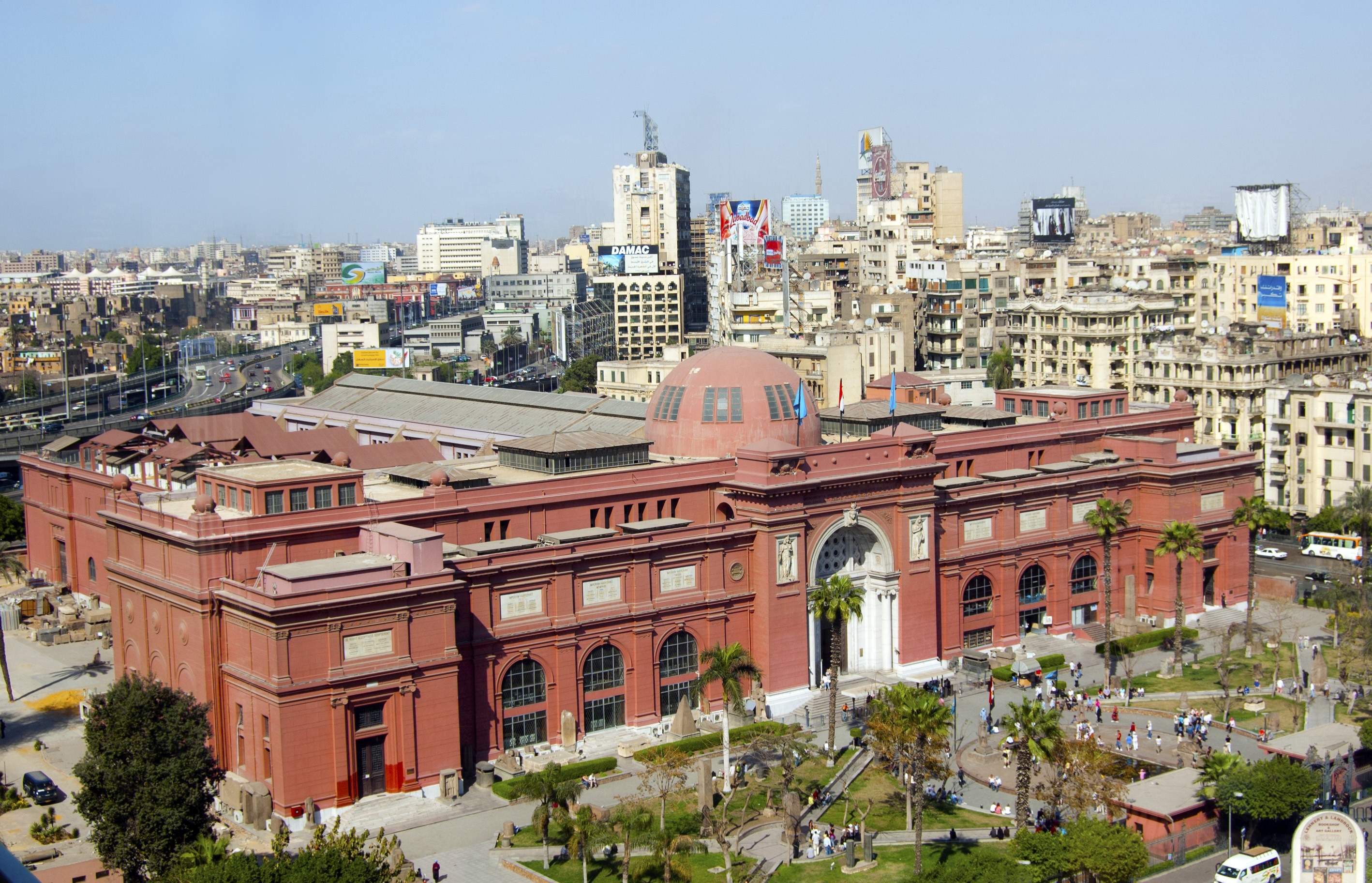
Beyond dissent, Tahrir also features several markers of Cairo’s busy everyday life. For one, the Mogamma, considered by many a socialist-era atrocity, is the administrative hub of the city, and the central location for all of Cairo’s passport issuing. It is also the place to go to renew visas and obtain shehadet taharokat–the record of your comings and goings from the Cairo Airport.
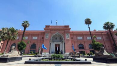
Tahrir is also home to the American University in Cairo, with a wall of the main campus bordering the square. Touristy features, too, are part of the square’s character. The Egyptian Museum and the Nile Hotel (formerly the Nile Hilton) border one side of Tahrir.
Numerous little travel agencies and American fast-food chains border the other. The Shura Council is also nearby, while the connecting Kasr al-Aini street is home to a number of government offices. The National Democratic Party’s headquarters (now burned beyond recognition) are also adjacent to the square.
Although Tahrir is usually round-a-bout with cars and one of the few places in Cairo where traffic lights are used and respected, the past 18 days offered the world a different Tahrir square–with up to a million people circling, camping, and chanting slogans against the regime of former Egyptian president Mubarak.
The garden in the middle became a campground for the most adamant protesters, while traffic lights became podiums for chanting, flag posts and banners. The fences that usually keep pedestrians from risking their lives crossing the streets (as a network of tunnels offer a safer means by which to navigate the different parts of the square) are now perches for those with clever personalized anti-regime signs.
For many, the square became a temporary autonomous zone, a leaderless utopia, about which much will no doubt be written in the near and longer-term future. For the duration of the uprising, it embodied a collective dream for a national project in which democracy, equality and freedom reign.