The Egyptian Meteorological Authority announced that Storm Daniel will impact western Egypt starting Monday, bringing with it weather instability, low temperatures and strong active winds.
What is Storm Daniel?
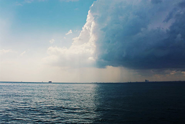
Storm Daniel is a rare storm with sub-tropical characteristics that tends to occur in the month of September.
It is accompanied by increased risks of torrents and floods, alongside strong winds and waves rising above sea level.
Maximum temperatures expected Monday:
Coastal governorates: 32C
Cairo: 37C
Southern Upper Egypt: 43C
Stormy weather forecast
There are chances of rainfall and thunder on the western coasts and the desert area of Matrouh and Salloum.
Meteorologists anticipate active winds on Monday to raise sand and dust in most parts of the country.
They also predict chances of moderate to heavy rainfall, with occasional thunder, in governorates including Salloum and Matrouh, while light rain will extend over parts of Alexandria in the evening.
Storm Daniel is currently affecting the Libyan coast with heavy rainfall, thunderstorms, high wind speeds, and wave heights exceeding four meters above sea level.
Meteorologists anticipate that as the depression advances eastward on Tuesday, chances of rainfall on the Suez Canal cities and in southern Lower Egypt will rise.
Storm Daniel is also expected to affect Cairo on Tuesday evening.
Edited translation from Al-Masry Al-Youm